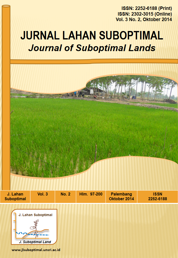
Kajian Pola Tanam dan Pola Pemupukan Padi Rawa di Lampung
DOI:
https://doi.org/10.33230/JLSO.3.2.2014.124Keywords:
Fertilization, swamp land, rice cultivationAbstract
Swamp land in Lampung area of 544,305 ha, which spread out in several districts, where a potential for planting rice paddy field area of 410,177 ha. The pattern cultivation especially fertilization also different from each other in each type of land swamp and a specific location, so have an effect on yield. This study had done by the method survey and interviews farmers by using a questioner. Location interview was in three districts that have land swamp area in Lampung, namely Tulang Bawang District (Sub District: Rawa Jitu Selatan, Rawa Pitu, and Penawar Aji); Mesuji District (Sub District: Mesuji Timur and Mesuji); and Lampung Selatan District (Sub District: Rawa Sragi). The number of respondents 15 farmers per sub-district, so the total respondents were 90 farmers. The data were obtained then tabulated and analyzed descriptively. Most of the farmers used these wetlands for rice farming, but only 50% can be used for double cropping of rice per year. The dose of fertilizer farmers applied both urea and NPK Ponska / SP-36 lower than recommended dosage according to Permentan Regulation No. 40 of 2007 (Urea 175 kg + 200 kg Ponska NPK + 25 kg SP-36 + 50 kg KCl). Average rice yield was obtained according to the results of interviews 4.34 t/ha in MT I and 2.5 t/ha in MT II.Downloads
Published
2016-01-07
How to Cite
Barus, J., & Hafif, B. (2016). Kajian Pola Tanam dan Pola Pemupukan Padi Rawa di Lampung. Jurnal Lahan Suboptimal : Journal of Suboptimal Lands, 3(2). https://doi.org/10.33230/JLSO.3.2.2014.124
Issue
Section
Articles
License
Copyright (c) 2016 Junita Barus, Bariot Hafif

This work is licensed under a Creative Commons Attribution-NonCommercial-ShareAlike 4.0 International License.


